
Ireland’s spell of cooler and wetter weather looks set to be short-lived, with Met Éireann already signalling that another burst of summer heat could be just days away.
After severe thunderstorms battered parts of the country last week, the weather looks set to take another dramatic turn, with forecasters and weather maps pointing towards much warmer conditions returning, reports The Mirror.
Weather models are increasingly showing high pressure building back over Ireland from next weekend, bringing the return of sunshine and temperatures climbing well into the mid-20s once again.
Current weather maps suggest temperatures could reach around 24C this Saturday, before climbing to 26C the following Monday, 27C on Tuesday, 26C on Wednesday and 25C on Thursday, reports The Mirror.
While forecasts this far ahead are always subject to change, the latest charts indicate that Ireland could be in line for another potential heatwave.
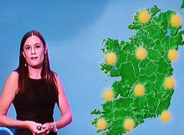
Met Éireann’s own forecast also suggests that this Saturday marks the first signs of warmer weather returning, reports The Mirror.

It said: “Saturday looks like bringing the warmest weather to the south and southeast with temperatures in the low 20s. Rather cloudy at times elsewhere, with some light rain at times and temperatures in the mid to high teens.
“Currently Sunday looks to be sunnier and a couple of degrees warmer in general,” reports The Mirror.
It also looks as though the warmer weather will not just be a weekend event, with temperatures potentially remaining above average for up to two weeks.
The national forecaster’s longer range outlook suggests temperatures are set to remain above average for the first two weeks of July, with high pressure expected to become increasingly dominant over Ireland, reports The Mirror.
For this week, it said: “A signal for high pressure over Ireland suggests a more settled weather regime. Higher than average temperatures across the country are expected, as well as lower than average rainfall amounts.”
Looking ahead to the following week, from 6 to 12 July, it added: “Confidence is lower, but a weaker signal for high pressure remains. Temperatures are expected to remain above average across most of the country, with no clear signal to the northwest. Precipitation amounts are also expected to remain below average, indicating a continuation of more settled weather,” reports The Mirror.
Before any potential warmer spell arrives, Ireland will first have to get through some changeable conditions, with Met Éireann saying the coming days will be “mixed with rain or showers at times, some decent dry periods also, with highest temperatures ranging from the mid high teens to low twenties,” reports The Mirror.
Tell us your thoughts in the Facebook post and share this with your friends.

