
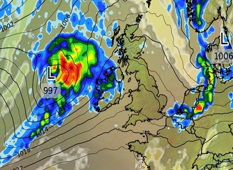
Ireland is bracing for Storm Floris, set to hit tonight and continue into Bank Holiday Monday, bringing wet and unseasonably windy weather across the country. Met Éireann has issued Status Yellow warnings for wind and rain, effective from 11:00 PM Sunday, August 3, to 2:00 PM Monday, August 4, with the northwest, particularly Mayo, Sligo, Leitrim, and Donegal, expected to face the brunt of the storm.

The storm, named by the UK Met Office, is forecast to track northwest of Ireland, delivering southwest to westerly winds with gusts up to 100 km/h, and potentially higher in coastal areas. Heavy rain, with a chance of thunder, may lead to localized flooding, especially in the north and northwest. Potential impacts include dangerous travel conditions, power outages, fallen trees, structural damage, and wave overtopping along coasts.
Met Éireann warns that the storm’s timing during the August bank holiday weekend could heighten risks, with many people attending outdoor events or holidaying. Authorities urge the public to secure outdoor items, avoid unnecessary travel, and stay updated via Met Éireann’s forecasts. Local councils have echoed calls for caution, advising residents to prepare for possible disruptions.
While less severe than January’s record-breaking Storm Éowyn, Floris is notable as the sixth named storm of the 2024/25 season and a rare August event. Conditions are expected to ease by Monday afternoon, with sunny spells and milder weather forecast to return by Wednesday.
Tell us your thoughts in the Facebook post and share this with your friends.
