
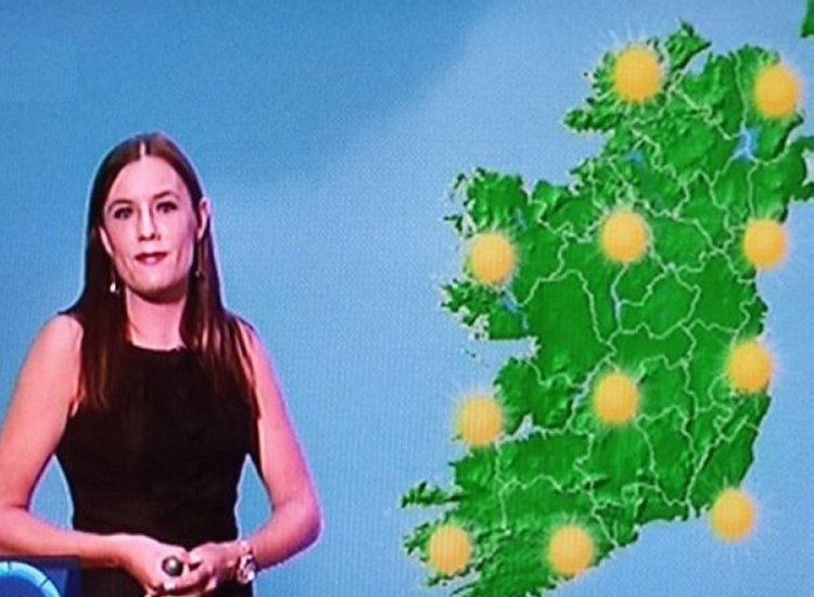
Ireland’s weather has remained erratic in recent weeks, shifting from intense highs of 31°C earlier this month to several thunderstorm alerts. And based on Met Éireann’s most recent forecast, the fluctuating conditions are expected to continue, reports The Mirror.
The national weather agency is forecasting some relief over the August bank holiday weekend, noting that there will be “a good amount of dry weather on Saturday and Sunday”, though this will likely be brief.
A possible storm is forecast for bank holiday Monday, August 4, with the service cautioning that the weather is set to become “unsettled with wet and breezy weather, possibly turning unseasonably windy”, reports The Mirror.
After this system moves through, the outlook becomes more encouraging as Met Éireann anticipates the return of high pressure — typically associated with dry and warm summer weather.
Although extended weather predictions are known to be unreliable, current charts suggest a potential heatwave developing by mid-August. Forecasts indicate highs reaching 25°C on Wednesday, August 13, climbing to 26°C on August 14, and potentially hitting 27°C on August 15, reports The Mirror.
Met Éireann’s extended forecast echoes this promising trend, stating that during the week of August 11 to 17, “high pressure is expected to remain the dominant influence on our weather for week 2. It’s likely to be drier than average nationwide, with temperatures likely to stay a little higher than normal too.”
TheLiberal.ie won’t quit
Please support us with a small donation on PayPal!

It remains to be seen whether this stretch of warm weather qualifies as a heatwave. While heatwaves are often described as five straight days of above-average temperatures, Met Éireann uses a more specific threshold. It previously told the Irish Mirror: “That is a working definition used by some other met offices, but the Met Eireann definition of a heatwave is five consecutive days of temperatures above 25C,” reports The Mirror.
Until then, Ireland is expected to experience typical summer conditions in the short term, apart from the possibility of a brief storm on Monday. The forecast for the coming days is as follows:
“Thursday morning will start mainly cloudy with scattered outbreaks of rain or drizzle and patches of mist and fog. It’ll become drier and brighter for the afternoon and evening with some sunny spells and isolated showers. Highest temperatures of 16C to 22C, warmest in the south, in a light to moderate northwesterly breeze,” reports The Mirror.
“Friday morning will be mostly cloudy with isolated light showers, mainly in the north and east. It’ll become drier and brighter for the afternoon and evening as the showers die out and some sunny spells develop. Highest temperatures of 16C to 21C, warmest in the south, in a light northwesterly breeze,” reports The Mirror.
“Saturday morning will start dry and there’ll be sunny spells in the east. Cloud will spread from the west through the morning and afternoon, bringing some patches of light rain or drizzle. Showery rain will develop in the west by evening. Highest temperatures of 17C to 20C with a moderate southwesterly breeze,” reports The Mirror.
“Cloud and rain will clear from the southeast on Sunday morning and for the rest of the day there’ll be a good amount of dry and bright weather, with just a few showers in the northwest. Highest temperatures of 16C to 21C with a moderate to fresh westerly wind, easing later,” reports The Mirror.
“Unsettled bank holiday Monday with wet and breezy weather, possibly turning unseasonably windy,” reports The Mirror.
Tell us your thoughts in the Facebook post and share this with your friends.

