
Despite already being a week into June, there has been no sign of summer sunshine, with the country having been battered by a seemingly relentless spell of wind and rain in recent days.
A new “mobile Atlantic regime” has settled over the country, bringing a continuation of unsettled conditions, with rain or showers falling every day this week and temperatures running below the seasonal average, reports The Mirror.
The miserable weather is set to persist through Sunday and into next week, with further bouts of heavy rain forecast in the coming days.
However, there is hope that summer-like conditions may return in the not-too-distant future, with Met Éireann pinpointing when the rain is expected to clear and be replaced by warm, dry weather, reports The Mirror.
The latest forecasts suggest the raincoats and umbrellas may soon be swapped for shorts and sunscreen, with temperatures potentially climbing to 23C next week.
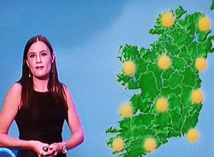
Met Éireann has said that “temperatures should improve later in the week,” adding that “currently it looks warmer and drier for Friday with sunny spells,” reports The Mirror.
Met Éireann’s outlook is supported by the Global Forecast System, a weather prediction model operated by the US National Centers for Environmental Prediction, which is showing temperatures rising to 23C in parts of the country on Friday.

However, one weather expert has cautioned that promises of warm temperatures on Friday should be taken “with a pinch of salt,” as a separate forecast model shows mercury remaining in the mid-teens by the end of next week, reports The Mirror.
Alan O’Reilly of the popular Carlow Weather account wrote on Sunday: “A damp morning and turning very wet again this evening. Also GFS model going for a warm Friday but ECMWF model having none of it so take any promises for warm Friday with a pinch of salt for now.”
According to Met Éireann’s latest forecast, Sunday is set to be another damp, dull and windy day, with “persistent and heavy” rain spreading across the country through the morning and afternoon. Drier conditions are expected to develop in the west during the evening, though rain is forecast to linger in the east with some heavy downpours, and highest temperatures of 13C to 17C are expected in moderate to fresh southwest winds, reports The Mirror.
Tonight, outbreaks of rain and drizzle in the east will linger for a time before clearing over the Irish Sea, with drier and clearer conditions spreading from the west and a few light showers developing in western parts later in the night. Lowest temperatures of 5C to 9C are expected in light to moderate southwest to westerly winds, with some mist patches forming.
Monday will bring a bright start with a mix of sunshine and showers, which will become more widespread through the day and occasionally heavy, especially in the north, with highest temperatures of 12C to 16C in moderate west to southwest winds. Tuesday will be a day of showers and sunny spells, again some heavy with the chance of thunder, and highest temperatures of 13C to 16C in moderate northwest winds, fresher on exposed coasts, reports The Mirror.
Tell us your thoughts in the Facebook post and share this with your friends.
