
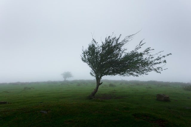
With Storm Jocelyn expected to make landfall just hours after Storm Isha, Ireland is braced for more catastrophic weather.
According to the Irish Mirror, Storm Isha brought 140 km/h gusts and pouring rain. Weather forecasters predict that Storm Jocelyn is also likely to result to devastation.
Numerous weather warnings have been issued by Met Eireann for Tuesday and Wednesday. The entire nation is expected to experience windy conditions, with the western and northern coastal regions perhaps being the hardest affected.

The national forecaster’s weather map shows that Donegal, Galway, and Mayo are the counties that would be most affected by the storm; a Status Orange notice has been issued for those counties.
Its forecast for tomorrow reads: “Tuesday will be wet and windy as Storm Jocelyn tracks to the northwest of Ireland. Very strong and gusty southwesterly winds will develop through the day, with the strongest winds in the west and northwest with gales on coasts. There will be widespread rain during the morning and afternoon, followed by scattered showers in the evening. Highest temperatures of 10C to 14C.”
“Windy early on Tuesday night with a very strong and gusty southwest to west wind, easing overnight. Clear spells and scattered showers at first, becoming isolated as the night goes on. Lowest temperatures of 5C to 8C.”
Tell us your thoughts in the Facebook post and share this with your friends.

