
Ireland is preparing for a sharp turn in weather conditions from tonight, as several weeks of unsettled patterns are replaced by a severe Arctic chill, reports The Mirror.
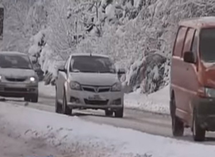
Bitterly cold air is forecast to sweep across the country this weekend, with temperatures expected to tumble to lows of -4C, alongside risks of hail, ice, frost, sleet and snowfall, reports The Mirror.
Met Eireann has issued multiple weather alerts relating to low temperatures, icy conditions, heavy rain and snowfall.
Beginning at 9pm this evening, a nationwide Status Yellow warning for low temperatures and ice will come into effect. It states: “Temperatures falling between -1C and -3C generally. Sharp frost and icy conditions. Potential impacts include hazardous travel conditions on road and underfoot, plus travel disruption,” reports The Mirror.
This particular alert will remain active until 10am.
At the same time, a Status Yellow rain warning has been put in place for Cork and Kerry, valid from 12 noon until midnight on Saturday. It states: “Rain with heavy falls will lead to spot flooding and difficult travel conditions,” reports The Mirror.
In a separate alert, Met Eireann has identified eight counties likely to be hit by snowfall. A Status Yellow rain and snow warning applies to Galway, Leitrim, Mayo, Roscommon, Sligo, Cavan, Donegal and Longford from 12 noon until midnight on Saturday.

The national forecaster said: “Rain which will be heavy at times and turning to sleet or snow together with strengthening winds will lead to difficult travel conditions and poor visibility,” reports The Mirror.
This follows weather model projections showing a strong system moving in from the west on Saturday afternoon, advancing eastwards through the evening and into the night.
As the system crosses the country, many counties could see snow. Forecast charts also point to the possibility of another significant snowfall event on Tuesday, reports The Mirror.
Looking ahead to Valentine’s Day, Met Eireann said: “Cold, dry and bright to begin Saturday with widespread frost and icy patches. Cloud will thicken from the west through the day, with rain spreading northeastwards over the country through the afternoon and evening, turning heavy in parts, and possibly falling as sleet or wet snow for a time, mainly in Connacht and then in Ulster later, before transitioning back to rain. Afternoon highs of just 2C to 5C generally but turning milder from the southwest after dark. Winds will be mostly light southerly to begin, but it will turn windy later as winds back southeasterly and increase fresh to strong and gusty
“Wet and windy for a time Saturday night, with spells of heavy rain and some sleet and snow for a time in the north and east. Clear spells and scattered showers will follow from the west overnight. Lowest temperatures of 0C to 5C with the fresh to strong and gusty southeasterly winds veering westerly and easing as the rain clears,” reports The Mirror.
Although the Arctic air mass is expected to ease slightly on Sunday — bringing somewhat milder yet unsettled weather, including rain, hail and even the chance of thunderstorms — the cold spell is not expected to end just yet, reports The Mirror.
Tell us your thoughts in the Facebook post and share this with your friends.

