
A weather expert has said that “Spring is set to arrive” next week as the cold temperatures and heavy showers experienced across Ireland recently are expected to give way to warmer and sunnier conditions.
The country has faced changeable weather in recent days, with temperatures dropping to -1C on Friday and wet, windy conditions affecting much of the country, reports The Mirror.
However, a major shift in the weather is forecast for next week as a strong area of high pressure moves in, bringing temperatures as high as 16C along with settled and mostly dry conditions and plenty of sunshine.
According to Cathal Nolan, a climate scientist and founder of Ireland’s Weather Channel, the brighter spell is expected to begin on Wednesday, reports The Mirror.
The warmer conditions are not expected to arrive until after St Patrick’s Day, with persistent rain forecast for many counties throughout Tuesday morning and afternoon.
In a video message shared with his followers, Cathal said: “As we go into Monday, we see a warm front pushing up from the southwest, bringing with it a little bit of mist and drizzle in parts of the western and northwest in particular, the best of the drier weather to the east and south.
“For St Patrick’s Day, the early outlook at the moment is for a little bit of a mix as well.
“Drier, brighter conditions in the Midlands and the northeast and east of the country and some areas holding dry elsewhere.
“We will see some outbreaks of light rain or mist, especially so in the west and Northwest and over Hills and coasts in the South and South East, so a little bit of a mixed bag. The good news from then [is] on Wednesday, March 18, it looks like we’ll see major Improvement as high pressure becomes more of a feature in our weather. In fact, in some cases, it becomes the dominant feature for quite some time,” reports The Mirror.
Cathal’s optimistic outlook was also supported by fellow Irish weather expert Alan O’Reilly, the amateur meteorologist behind the widely followed Carlow Weather social media pages.
“Here comes the high pressure! Weather models continue to show nice settled weather arriving from Wednesday with good sunny spells and mainly dry weather with lighter winds,” said Alan, reports The Mirror.
He continued: “Temperatures will rise a little from Thursday also. The fine spell could last over a week with very little rain. We do have a few showery days ahead first and feeling bitterly cold tomorrow Sunday with strong winds after lunch.”

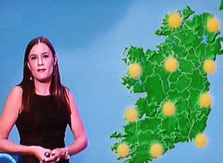
Meanwhile, Met Éireann said Sunday will bring a mixture of sunshine and showers across the country, with the possibility of hail or thunder, and warned that some showers may turn wintry on higher ground or further north, reports The Mirror.
Below is Met Éireann’s outlook for the coming days.
Sunday (March 15): Outbreaks of rain and drizzle will clear the east coast this morning, giving way to a cool and blustery day with sunny spells and widespread showers feeding in from the Atlantic and spreading eastwards across the country. Some of the showers will be heavy with a chance of hail or thunder and some may be wintry on higher ground or further north. Highest temperatures of 6C to 10C, with fresh to strong and gusty westerly winds, reports The Mirror.
A mix of clear spells and scattered blustery showers at first tonight. The showers will gradually become confined to further north, with cloudier conditions developing elsewhere through the night, together with outbreaks of rain and drizzle in the west. Lowest temperatures of 1C to 6C early in the night, but increasing through the night as cloud spreads. Moderate to fresh and gusty westerly winds will also ease mostly moderate southwesterly through the night.
Monday (March 16): Dull, damp, and misty with outbreaks of rain and drizzle spreading from the west. Becoming breezy too, with moderate southwesterly winds freshening through the day. Highest temperatures of 9C to 12C, reports The Mirror.
A cloudy night with patchy outbreaks of rain and drizzle Monday night. Mild with lowest temperatures of 7C to 11C. Breezy too, with freshening southwesterly winds, stronger near Atlantic coasts.
Tuesday (St Patrick’s Day): Starting off cloudy for most with some patchy outbreaks of rain and drizzle. More persistent rain in the west will gradually move eastwards through the morning and afternoon, becoming patchier as it does so, and with a clearance to bright spells and a few showers following into the west later in the afternoon. Relatively mild with highest temperatures of 10C to 14C , but windy with fresh to strong south to southwest winds, easing towards evening, reports The Mirror.
A mostly clear and dry night on Tuesday. Some fog is possible as southwesterly winds become light and with lowest temperatures of 1C to 5C.
Wednesday (March 18): A mostly dry day with just some patchy light rain or drizzle possible in the south. Current indications are that it will be relatively cloudy, but with some brighter spells too. Relatively mild with highest temperatures of 10C to 14C degrees, with just light variable breezes, reports The Mirror.
Thursday (March 19): Current indications suggest a dry day with plenty of sunshine. Highest temperatures of 11C to 16C, with light to moderate easterly winds.
Tell us your thoughts in the Facebook post and share this with your friends.
