
“Real good weather” is on the way, with temperatures expected to reach around 25 degrees Celsius in some parts of the country next week, according to Met Éireann meteorologist Linda Hughes.
Speaking on RTÉ’s Morning Ireland, she said high pressure from central Europe will pull in warmer air from the south and southeast towards Ireland, reports RTE.
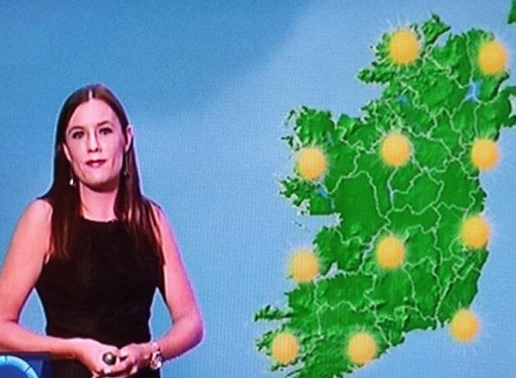
There will be hazy sunshine over the weekend with highs of around 23C, though “some parts around the west and northwest and along the south coast might see some cloudier skies and potentially some sea fog as well.”
Ms Hughes said: “The best temperatures will be in the midlands and the east and then we will see temperatures really rising into early next week. That is where we will see the peak of the temperatures,” reports RTE.
The first half of next week will be dry with widespread sunshine and temperatures reaching up to 24C or 25C, or “maybe even a little bit higher,” she added.
The highest temperatures will be in the south of the country while it will be a little bit cooler to the north, reports RTE.
Ms Hughes said there may potentially be good weather on Thursday also.
“Temperatures have been below normal for May. We’ve had a northerly wind a good bit of the time, so that has been keeping those temperatures down,” she said, reports RTE.

Parts of Northern Ireland are also forecast to see temperatures reaching the mid-20s by next week as the UK is set to record its hottest May day ever, with some areas expected to be warmer than Barbados.
Heat health alerts have been issued for much of the Midlands, eastern England and the southeast ahead of a heatwave. The UK Health Security Agency has issued an amber heat health alert for the East Midlands, West Midlands, the east of England, London and the South East, meaning significant impacts are likely across health and care services, reports RTE.
Temperatures are forecast to reach 33C in southern England and the Midlands — higher than the UK’s current May temperature record of 32.8C.
Speaking on RTÉ’s News At One, Alan O’Reilly of Carlow Weather said many parts of Europe had been below average temperatures recently but that a change was on the way, reports RTE.
“We now have high pressure positioned to the west of us, which is going to draw up this very warm air coming up really from North Africa into Spain, into France and then we’re just getting the outer edges of it but much of Europe is going to go from below average to above average temperatures,” he said.
He said temperatures in mainland Europe were already above 32C in parts of Spain and France but would climb even further, with temperatures of up to 38 degrees possible in parts of Spain, southern Portugal and France, reports RTE.
Mr O’Reilly said the hot weather in those countries could last until at least Wednesday but might ease off a little from Thursday, with some uncertainty around the risk of showers. He noted conditions for the following weekend were still difficult to predict, reports RTE.
Tell us your thoughts in the Facebook post and share this with your friends.

