
Ireland has experienced several weeks of mini-heatwave conditions, with unusually warm temperatures and very little rainfall. However, that spell of dry, settled weather has given way to more humid and unsettled conditions, prompting thunderstorm warnings in some areas, reports The Mirror.
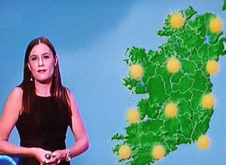
Looking ahead to the weekend, Met Éireann has issued a less-than-optimistic forecast, warning of a “noticeable” temperature drop along with windy and wet weather. While today’s highs may still reach up to 22°C, Sunday is expected to feel significantly cooler, with temperatures dropping to around 12°C.
This unsettled trend is likely to continue into next week as low pressure systems take over from the previously dominant high pressure. Unlike high pressure, which typically brings dry and warm weather, low pressure is associated with cloud cover, rain, and stronger winds, reports The Mirror.
Met Éireann summarised the upcoming shift: “Becoming generally unsettled and breezy with spells of rain and showers spreading from the Atlantic. Gradually turning cooler over the weekend.”
There is some optimism on the horizon, though. Met Éireann is monitoring the potential return of high pressure, which could bring a fresh wave of warm, dry weather in the weeks ahead, reports The Mirror.

In its long-range outlook for June 9–16, the forecaster noted: “There is increasing uncertainty in the forecast. High pressure is expected to be the dominant factor for the weather this week. This is expected to bring with it below average rainfall amounts and above average mean air temperatures for most of the country.”
If this warm spell materialises, it could stretch into the following week. From June 16–22, Met Éireann added: “The forecast confidence is low. Little change is expected this week with the high pressure expected to continue dominating the weather over Ireland. Once again, this will be expected to bring below average rainfall and above average mean air temperatures to most of the country,” reports The Mirror.
Early weather models—still subject to change—indicate a possible return to warmer, drier weather starting in early June, with highs of 23°C expected by Thursday, June 6.
In the meantime, a brief but sharp return to cooler, wetter weather is on the cards before any potential heat returns.
This weekend’s forecast reads: “Friday will start dry with spells of sunshine in the east but cloud will build from the west through the day, bringing outbreaks of rain and drizzle across the country. Highest temperatures of 14C to 19C , mildest in the east, in light to moderate southwesterly winds. A rather wet and breezy day Saturday with outbreaks of rain spreading from the west, turning heavy at times later. Feeling humid with highest temperatures of 16C to 20C in fresh southwest winds. Brighter on Sunday with sunny spells but scattered showers will become widespread through the morning and afternoon. A noticeably cooler day with highest temperatures of 12C to 16C in fresh westerly winds. A breezy and showery day Monday with limited sunny spells. Highest temperatures of 12C to 16C in fresh southwest winds. Remaining unsettled next week with further outbreaks of rain. Temperatures will recover slightly towards the mid to high teens,” reports The Mirror.
Tell us your thoughts in the Facebook post and share this with your friends.

