
New weather charts are showing a dramatic change in Ireland’s weather pattern over the coming days, reports The Mirror.
Meteorologists at WXCharts.com released updated maps on Sunday, pointing to a sharp drop in temperatures set to occur on Tuesday.
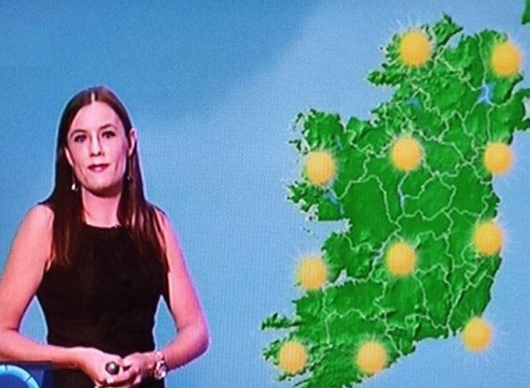
The latest visuals show Ireland shaded in blue by Tuesday morning, which indicates a notable decrease in temperature. According to Met Éireann, conditions across the country on Tuesday will “feel cooler,” reports The Mirror.
This downturn in temperature is a stark contrast to the recent heat experienced nationwide. On Sunday, temperatures in some eastern regions soared to 26°C. By Tuesday morning, some areas may see temperatures fall as low as 8°C, based on WXCharts.com projections.
The recent spike in warmth was attributed to a ‘heat dome’ originating from northern Africa and southern Europe. While Ireland avoided the life-threatening 40°C-plus temperatures hitting countries like France, Spain, and Greece, many parts still experienced above-average warmth, reports The Mirror.
However, the ‘heat dome’ influence won’t last much longer, with one Irish meteorologist forecasting when things will begin to feel cooler.
Alan O’Reilly, who runs the Carlow Weather social media account, told followers on X Sunday that a refreshing change is on the way for those “tired of the warm weather,” reports The Mirror.
“If you are getting tired of the warm humid or heavy weather you will be glad to know fresher air is on the way from Tuesday,” said Alan, reports The Mirror.
TheLiberal.ie won’t quit
Please support us with a small donation on PayPal!

“The latest upper air temperature forecast here shows the edge of the plume of hot air over Europe moving away from Ireland. It will also ease off in France later in the coming week and ease a little in Portugal and Spain later in the week,” he added, reports The Mirror.
Met Éireann National Outlook:
Overview: A fresher and brighter trend is expected through much of the week with sunny periods, although some showers will occur as well.
Monday night: Light rain and drizzle will slowly push eastwards Monday night, lingering in the east and southeast, while clearer skies develop elsewhere. Overnight temperatures will range from 8 to 13 degrees, with light northwesterly or variable winds, reports The Mirror.
Tuesday: Tuesday will bring sunny spells to many areas, though occasional cloud cover will form. Persistent cloud, along with light rain and drizzle, will stay over eastern and southeastern parts. It will feel noticeably cooler and fresher, with top temperatures between 16 and 20 degrees, and light northerly to northwesterly or variable winds, becoming moderate along the east coast.
Tuesday night: Most areas will see skies clear up by Tuesday night as lingering cloud in the southeast clears. Expect lows of 7 to 11 degrees and a light northwesterly or variable wind, reports The Mirror.
Wednesday: A bright and mostly sunny day is forecast for Wednesday, though scattered showers will appear in the afternoon, especially in the north where they may turn heavy. Temperatures will peak between 14 and 18 degrees, with light winds from the west to northwest.
Thursday: Another largely bright day is expected Thursday, with sunshine and scattered showers, particularly in northern and western regions. Highs will range from 15 to 19 degrees, accompanied by a light to moderate westerly wind, reports The Mirror.
Further outlook: Early signs suggest the weather will shift back to an Atlantic influence by the weekend, bringing likely spells of rain.
Tell us your thoughts in the Facebook post and share this with your friends.

