
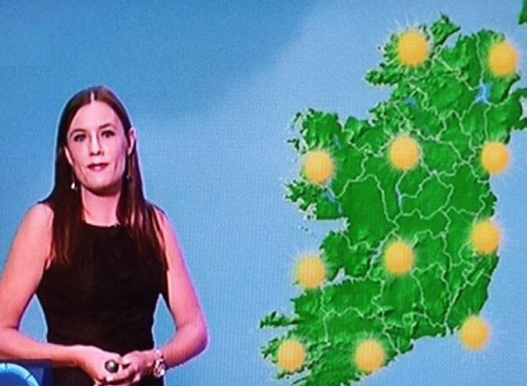
Ireland has been enjoying a beautiful spell of sunshine and warm temperatures. Today, highs are forecast to reach 22C, but tomorrow could see even warmer conditions, reports The Mirror.
If you’ve been relishing the sunny days, now’s the moment to make the most of it, as Met Eireann has cautioned that this mini-heatwave will come to a sudden halt, with thunderstorms expected just before the May bank holiday weekend.
Still, there’s a silver lining. Even though the storms will disrupt the warm stretch, high pressure is set to stay in charge, ensuring mostly dry and settled weather for the weekend, reports The Mirror.
Today’s weather will be warm and dry across the country, with hazy sunshine in the afternoon. Temperatures will peak between 17C and 22C, accompanied by light southeast or variable breezes. Tomorrow, Wednesday, April 30, is when summerlike warmth will truly kick in.
Met Eireann’s latest maps show temperatures widely reaching 23C tomorrow, and possibly as high as 25C in one area, reports The Mirror.
Their Air Temperature Map indicates that southwest Dublin could be the warmest spot, potentially hitting 25C.
While the warmth holds, it won’t be uninterrupted. Isolated showers are likely tomorrow, particularly in the north, west, and midlands. Some may be heavy or thundery. Nevertheless, it will remain warm, with a humid, close feel to the air, reports The Mirror.
This welcome weather might excite sun-seekers, but Met Eireann notes that it doesn’t meet the criteria for an official heatwave. While some met offices define a heatwave as five consecutive days of above-average temperatures, Met Eireann clarified to the Irish Mirror: “That is a working definition used by some other met offices, but the Met Eireann definition of a heatwave is five consecutive days of temperatures above 25C,” reports The Mirror.

The more accurate term for current conditions is “mini-heatwave,” describing a stretch of warmer-than-average weather.
As the bank holiday weekend nears, Met Eireann has issued a less-than-optimistic outlook. Though temperatures will still be mild—between 13C and 17C—thunderstorms are likely to break up the current warm period.
For Thursday, Met Eireann described a split across the country: “There will be a bit of a contrast in conditions across the country on Thursday with a cold front acting as the dividing line between cooler conditions to the north and warmer conditions to the south. In Connacht and Ulster, Thursday will start out mostly cloudy with patchy rain and drizzle, but clearer, sunnier conditions will spread from the northwest for the afternoon. It’ll feel much cooler with highest temperatures 12C to 16C in light to moderate northerly winds. In Leinster and Munster however, Thursday will be mostly sunny to begin. Cloud will build for the afternoon, with a few showers breaking out, some of these possibly heavy and thundery. Highest temperatures will range 17C to 21C with light variable winds becoming light to moderate northerly later,” reports The Mirror.
Despite these weather disruptions, there’s still some encouraging news for the long weekend. High pressure will continue to dominate, promising mainly dry and calm conditions.
Met Eireann’s forecast for the bank holiday reads: “Friday will be cooler and cloudier day overall with a few light showers in the mix but some bright or sunny breaks at times too. Highest temperatures of 12C to 16C in a light to moderate northerly breeze. Dry and mostly clear on Friday night with a few mist and fog patches forming. Cloud will build in the north and northwest overnight. Lowest temperatures of 4C to 8C in light northerly or variable breezes,” reports The Mirror.
Tell us your thoughts in the Facebook post and share this with your friends.

