
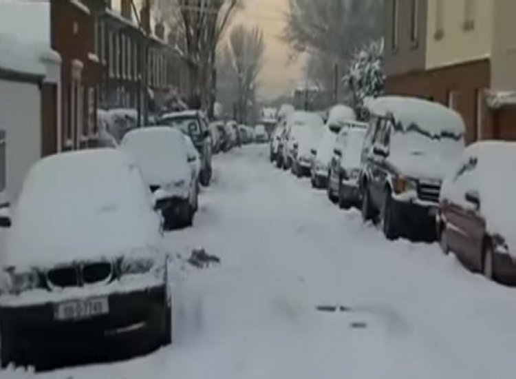
Ireland is about to get hit by a strong blast of Arctic air that’s going to hammer the country with smatterings of snowfalls over the coming days.
People are advised to be extremely careful while out and about, in particular motorists who are travelling on b roads.
Met Éireann has warned of the risk of heavy snowfall next week as an Arctic air mass is expected to bring extremely low temperatures, reports RTE.
The cold spell is expected to last until the end of the next week, according to the forecaster.
Regarding the potential for disruptive weather over the weekend, the National Directorate for Fire and Emergency Management has also said that it is in communication with Met Éireann, reports RTE.
It is keeping a careful eye on the issue.
This tonight, the whole nation will be under a Status Yellow low temperature and ice warning, signalling the beginning of a prolonged cold spell and a dramatic shift in the weather from the often pleasant Christmas season.
The warning is in effect from 6 p.m. tonight to 11 a.m. tomorrow, reports RTE.
In addition to warning of potentially dangerous traffic conditions and animal welfare concerns, Met Éireann stated that there would be widespread frost and ice.

Early next week is expected to see temperatures far below freezing, with some locations seeing night-time lows of -10 degrees Celsius on Tuesday, reports RTE.
The south midlands will have the coolest temperatures tonight, according to Matthew Martin, a Met Éireann forecaster.
He stated that a chilly polar northerly air flow is sweeping the nation and would persist through the weekend and into the next week when speaking on RTÉ News at One.
Mr. Martin also mentioned that a band of rain is expected to move in from the Atlantic and move northward over the nation on Saturday, increasing the likelihood of dangerous winter weather.
“There was a lot of uncertainty as to where the rain to snow boundary will be positioned,” he said, adding that “this rain will turn to snow in some areas as it interacts with the cold air,” reports RTE.
There is a chance for large snow accumulations, according to Mr. Martin.
“At the moment the midlands looks most at risk for some significant snow,” he said, reports RTE.
There is presently no indication that the cold wave will stop at any point next week, according to the forecaster.
He cautioned those who look after animals that live outside or on farms about frozen water troughs and the problems that come with ice and frost.
Overall, Met Éireann predicted that the upcoming days would be extremely cold, with “some very disruptive and impactful weather likely”—heavy rain, sleet, and “some disruptive amounts of snow”—to be possible, reports RTE.
Tell us your thoughts in the Facebook post and share this with your friends.

