
Following last week’s sweltering heatwave which saw temperatures reach 31C, Met Éireann has said cooler and wetter conditions can be expected over the coming days.
According to the national forecaster, conditions will be mixed for the week ahead with rain or showers at times, although there will be “some decent dry periods also,” with highest temperatures ranging from the high teens to the low twenties, reports The Mirror.
While many people will welcome the return of rain after last week’s scorching heat, the dry and sunny conditions will not be too long returning, with a band of high pressure set to usher in another spell of summer weather at the end of the week.
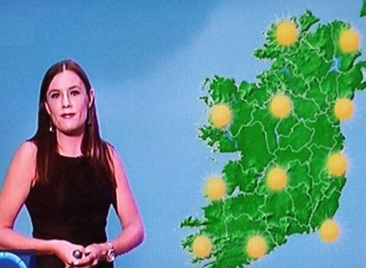
Met Éireann has pinpointed the areas set to enjoy the best of the sunny weather next weekend, with the national forecaster revealing that 10 counties will reach 25C heat on Sunday 5 July, reports The Mirror.
Issuing their latest forecast, a Met Éireann spokesperson said: “Through Friday and next weekend, it looks like high pressure will become established to the south of Ireland. The best of the drier, sunnier weather will be in the south and east of the country. It will be cloudier to the west and north with some rain, drizzle or showers at times. It will become warmer over the weekend with temperatures rising to the mid-twenties in Munster and south Leinster on Sunday,” reports The Mirror.

Sunday 28 June will be bright and breezy with sunny spells, with scattered showers in the west extending eastwards to all areas by early afternoon before becoming confined mainly to the north and west this evening, and highest temperatures of 15C in the west to 20C in the east with moderate to fresh, gusty southwesterly winds.
Tonight will be mainly dry with clear spells and well-scattered showers in the west and northwest, with lowest temperatures of 9C to 12C in moderate southwest breezes, reports The Mirror.
Monday 29 June will start mainly dry with bright or sunny spells before cloud increases from the west through the morning, with rain developing in the west during the afternoon and spreading eastwards through the evening, and highest temperatures of 16C to 21C in light to moderate south to southwest winds.
Monday night will be cloudy with rain extending eastwards to all areas and lowest temperatures of 10C to 13C in light to moderate southerly winds, reports The Mirror.
Tuesday 30 June will start cloudy with rain in most areas clearing eastwards by noon, with sunshine and showers following for the rest of the day and highest temperatures of 16C to 21C in winds veering westerly then increasing fresh northwesterly as rain clears.
Tuesday night will be dry with clear spells and a few lingering showers, with lowest temperatures of 10C to 13C, reports The Mirror.
Wednesday 1 July will start off dry before rain and drizzle develop in the west during the morning and spread eastwards through the afternoon, with highest temperatures of 16C to 20C in light westerly winds backing southerly and freshening, reports The Mirror.
Tell us your thoughts in the Facebook post and share this with your friends.

