
With Christmas only days away, attention is firmly focused on Ireland’s weather as fresh forecast maps point to strong, cold easterly winds reminiscent of a ‘Beast from the East’ pattern.
Although a widespread snowfall didn’t to arrive by Christmas Day, Met Éireann has issued a cold weather alert as temperatures dip as low as -3C and sharp easterly winds bring a wintry chill, reports Breaking News.
High pressure is expected to dominate through the festive period, keeping conditions largely dry and settled, though the cold easterly airflow will make temperatures feel particularly bitter, with overnight frost developing.
Updated weather charts also suggest that snow flurries could move across parts of Ireland from Saturday, January 3 through to Wednesday, January 7, reports Breaking News.
Forecasters have cautioned that these models may still change, but Met Éireann has said that “a few wintry showers can’t be ruled out at this stage” for the period from Monday, December 29 to Sunday, January 4, reports Breaking News.
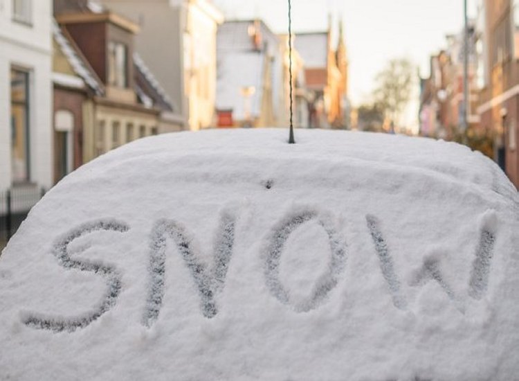
The phrase ‘Beast from the East’ refers to a cold easterly wind from continental Europe that typically causes a sharp temperature drop, widespread frost and, in some instances, snowfall across Ireland.
While the current system is not expected to deliver the heavy snowfalls seen during previous events, Met Éireann has confirmed a spell of freezing temperatures combined with cold easterly winds, reports Breaking News.
The strong high-pressure system over Christmas and New Year is likely to keep weather conditions mostly dry and calm, though the persistent easterly airflow will make it feel colder than readings on the thermometer suggest.
Met Éireann explained: “High pressure will bring mainly dry and settled conditions throughout the Christmas period and continuing into the New Year. Rather cold with an easterly airflow and with some frost by night and in the mornings, though eastern coastal parts are likely to remain frost free during the Christmas period and over the weekend due to the onshore breeze”, reports Breaking News.
The national forecaster has also issued its much-anticipated Christmas forecast, offering a detailed, day-by-day outlook for the festive period.
Providing a breakdown of conditions, Met Éireann said: “Christmas Eve will be a dry day and while it’ll start off mostly cloudy, with a few isolated patches of mist, it’ll brighten up with spells of sunshine developing. Highest temperatures of 6C to 9C , in light to moderate northeast to east breezes, a little fresher at times along the east coast, reports Breaking News.

“Santa and his reindeer will have very favourable conditions for their trip around Ireland on Christmas Eve night. It’s going to be a cold, dry night with mostly clear skies. Lowest temperatures of -2C to 2C generally, with a fairly widespread frost and some icy patches, in a mostly light east to northeast or variable breeze. It’ll be less cold and frost free though along the east coast, where winds will be mostly moderate and with lowest temperatures there of around 2C to 5C, reports Breaking News.
“Frost will clear Christmas Day to leave a dry, bright day with plenty of sunshine for most. Rather cold, with highest temperatures of 4C to 8C and feeling colder, especially along the east and south coast with the added wind chill from fresh and gusty easterly winds there, otherwise easterly winds will be mostly moderate, reports Breaking News.
“It will be a dry, cold and mostly clear Christmas night with frost forming away from eastern coasts. Lowest temperatures of -3C to 1C generally, though a little higher in eastern parts, ranging from 2C to 6C. Easterly winds will generally decrease light to moderate, though will be a little fresher for a time along eastern and southern coasts, reports Breaking News.
“Another dry day St Stephen’s Day with variable amounts of cloud and good sunny spells are likely once again. Highest temperatures of 4C to 8C and it’ll become a bit breezier with northeasterly winds increasing mostly moderate, and will be fresh and occasionally gusty along the east coast, reports Breaking News.
“Dry and cold St Stephen’s night with a mix of cloud and clear spells. Lowest temperatures of -1C to 4C generally, though less cold in eastern parts. Winds will be mostly moderate northeasterly, but fresher in eastern and some southern coastal parts. There’ll be some patchy frost in sheltered parts, but it’ll remain frost free where its breeziest along eastern and southern coastal parts, reports Breaking News.
Looking ahead to the New Year, Met Éireann confirmed there remains a risk of wintry conditions during the final days of December and early January.
Its outlook for the week from Monday, December 29 to Sunday, January 4 states: “Medium signal that high pressure will continue to dominate our weather into the new year, although centred to the northwest of Ireland, so creating a more northeasterly airflow over the country. Mainly dry conditions look set to continue with below average temperatures countrywide. Potential hazards look limited to frost, ice and fog; however, a few wintry showers can’t be ruled out at this stage. These would most likely occur near eastern and northern coasts”, reports Breaking News.
Tell us your thoughts in the Facebook post and share this with your friends.
