
The country has been experiencing a stretch of fine weather in recent days, with bright sunshine and temperatures climbing to a pleasant 17C.
Friday marked the peak of this warm spell so far, as a sudden wave of sunny and mild conditions spread across the country, reports The Mirror.
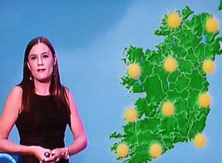
Fortunately, the favourable weather is expected to last through the weekend, with more dry and sunny periods forecast for both Saturday and Sunday.
However, people are being advised to enjoy the sunshine while it lasts, as a weather expert has warned that conditions will take a sharp turn next week, with temperatures dropping below freezing and the possibility of snow in some areas, reports The Mirror.
Alan O’Reilly, the hobbyist meteorologist behind the popular Carlow Weather social media pages, told his 156,000 followers to prepare for a notable drop in temperatures in the coming days.
“Colder next week with some wintry showers. Bad news for the heating bills,” he said as he shared weather model images indicating temperatures will fall significantly from Wednesday, reports The Mirror.
Met Éireann’s latest forecast also points to a sharp change from Wednesday, which is expected to bring wet and windy conditions. Daytime temperatures are forecast to remain below 9C, with an added chill due to fresh to strong gusty winds.
Met Éireann said that while dry conditions will continue through the weekend and into early next week, the weather will become more unsettled from Monday night onwards, with rain and showers developing, reports The Mirror.
The national forecaster also warned that it will turn significantly colder, with some showers becoming wintry by midweek, along with periods of strong winds.
TheLiberal.ie won’t quit
Please support us with a small donation on PayPal!

You can check out Met Éireann’s forecast for the next few days below, reports The Mirror.
Saturday (March 21): Any mist and fog will clear quickly this morning, although some coastal fog patches may linger in places. It will be another mostly dry day with sunny spells, though conditions may be hazy at times. Coastal parts of the northwest will be cloudier but largely dry, aside from a chance of light drizzle. Highest temperatures of 11C to 16C in light southwest or variable winds.
Tonight: Dry conditions will continue initially with clear spells, though patches of mist and fog are expected to form, particularly in southern areas. Cloud will build from the northwest overnight, bringing some light rain and drizzle moving southeastwards. Lowest temperatures of 0C to 6C, coldest in the south and southeast, with light to moderate southwesterly or variable breezes, reports The Mirror.
Sunday (March 22): It will start generally cloudy with some light rain and drizzle moving southeast. However, clearer conditions with sunny spells will spread from the northwest during the morning and afternoon. Highest temperatures of 9C to 14C in light to moderate southwesterly winds, turning northwesterly.
Sunday night: Dry with a mix of cloud and clear intervals. Lowest temperatures of 1C to 6C with light variable breezes, reports The Mirror.Monday (March 23): Largely dry for most, with only occasional drizzle and some hazy sunshine. Cloud will increase later, with light rain and drizzle reaching northwestern areas in the evening. Highest temperatures of 9C to 13C in mostly moderate southwest winds, becoming fresher in western and northwestern regions.Monday night: Breezy and cloudy with rain spreading southeastwards across the country. Lowest temperatures of 6C to 9C with moderate to fresh, gusty southwest winds.Tuesday (March 24): Cloudy at times with further rain, which may be heavy. The rain will clear to the southeast by afternoon, followed by sunny spells and widespread showers, some with hail and a slight chance of thunder. A blustery day with highest temperatures of 9C to 12C in fresh and gusty southwesterly winds turning westerly, strong to near gale force along western coasts.
Tell us your thoughts in the Facebook post and share this with your friends.

