
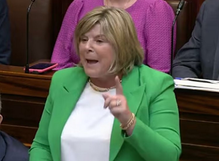
The Government is aiming to speed up the planning procedures required to roll out flood relief schemes, according to Minister of State Mary Butler, who outlined the intention, reports RTE.
She made the remarks while visiting Passage East in Co Waterford, an area where 20 houses were affected by flooding following the recent spell of severe weather, reports RTE.
Her comments come as a Status Yellow rainfall warning continues for three eastern counties, with Met Éireann cautioning that heavy rain could result in river flooding and hazardous travel conditions.
The warning — covering Dublin, Louth and Wicklow — remains active until 9pm, reports RTE.
Meanwhile, a separate alert that had been in place for Carlow, Kilkenny, Wexford, Cork and Waterford has now ended.
Minister Butler said there is significant irritation and frustration among residents about the length of time required to implement flood relief measures, reports RTE.
She added that the Government is broadly examining ways to reduce planning-related bureaucracy connected to development projects.
The National Emergency Coordination Group (NECG) has warned that the risk of flooding across the east and southeast is “very high” over the coming days, reports RTE.
NECG chairperson Keith Leonard said the heaviest rainfall levels are expected today, noting that emergency services and local authorities are on standby.
Mr Leonard said difficult travel conditions are being experienced across much of Leinster at present, reports RTE.
He said roads have been severely impacted, particularly local routes, with some close to being impassable.
He told RTÉ’s News at One that these are difficult conditions for local authorities who are trying to pump water and protect as many areas as the possible throughout the region, reports RTE.
He said the whole of Leinster is a concern, with Dublin and Wicklow of particular focus around Thursday evening.
Wexford County Council said a river flood advisory will stay in place for the county until 11am on Friday, reports RTE.
River levels in Wexford are currently recorded as ‘high’ and are expected to remain so for several days.

A council spokesperson said: “The ground remains saturated and rain continues to fall, combined with high river levels and high tides this this week, leading to potential further flooding in these areas, reports RTE.
“Surface water levels are elevated in the region so motorists should remain careful, reports RTE.
“Heavy rainfall is expected again on Thursday, and rainfall warnings are possible again in Wexford later in the week,” reports RTE.
The spokesperson added: “We are in a period of high spring tides. Strong winds and high surge levels may lead to wave overtopping and coastal flooding and the period of High Tide Advisory in the county is in place until 10pm on Thursday, reports RTE.
“High tides will further reduce the capacity for river discharge and increase the risk of flooding in low-lying coastal areas during high tide. This means that coastal levels are high for the remainder of the week,” reports RTE.
Wandesford Quay in Cork is set to close ahead of high tide this evening and again at high tide tomorrow morning.
Cork City Council said it does not anticipate property damage, but surface water is expected at Wandesford Quay, Lavitts Quay, Union Quay and Kyrl’s Quay, reports RTE.
Drivers are being advised to avoid parking on Wandesford Quay, while pedestrians are urged to take care in affected locations during high tide.
Cork County Council warned of “a higher risk of runoff and localised flooding” as a result of recent heavy rain and saturated ground conditions, reports RTE.
It said its severe weather assessment team “is monitoring conditions closely”, adding that crews are ready to respond.
In Dublin, Fingal County Council said sandbags have been installed along the River Liffey from the Strawberry Beds to Laraghcon to help minimise potential impacts, reports RTE.
It added that it is also “keeping a close eye on river levels and coastal conditions”.
South Dublin County Council said that “all available crews are on call to respond to any issues with trucks preloaded with sandbags, for distribution if needed”, reports RTE.
Taoiseach Micheál Martin said the National Emergency Coordination Group and senior ministers will meet to assess warning systems.
Mr Martin said he called the meeting because major weather events are “happening with greater frequency”, reports RTE.
“That’s something we will be examining. There will be an overview of our systems and the framework that we have at the moment that deals with major events of this kind,” he added, reports RTE.
Tell us your thoughts in the Facebook post and share this with your friends.

