
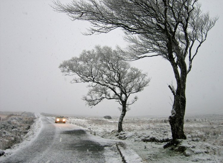
Ireland is in for a roller coaster ride into the holiday season as competing weather systems unleash wind, driving rain, hail, frost, ice and winter showers.
Parts of the country remain covered in snow after heavy downpours earlier in the week.
Met Eireann says the bone-crippling ‘wind chill factor’ will pick up mid-week, while some long-term forecasters are already eyeing the next snow threat.
Some weather models are showing signs of a bitter blast from the east in the run-up to Christmas, fuelling new fears of the ‘beast from the east’.
Meteorologist Jim Dale told the Express: “In the run up to Christmas it looks like we might be on a bit of a roller-coaster. If the Atlantic gets a chance to influence the weather, then we will see low pressure after low pressure, and this will make things more unsettled. On the back of that, returning polar maritime air, which is air travelling across the Atlantic from the North Pole, will bring the potential for snow. But we are still a week and a bit off and it is too early to say for certain,” reports The Mirror.
Meanwhile, independent Irish meteorologist Alan O’Reilly has shared a weather map showing a “white Christmas” in one county, but warned long-term patterns could change that far away.
Meanwhile, Met Eireann says it will remain cold today but will feel much milder tomorrow.

Its forecast for this weekend reads: “Some showers this afternoon, mainly in southern and western parts and more isolated elsewhere, with a good deal of dry and bright weather. Chilly with highest temperatures of 1C to 4C generally with icy conditions lingering in places, but between 5C and 7C in coastal areas of the south and west in mostly light southerly breezes. Cold tonight with some frost and ice for a time under clear skies. Later tonight, scattered outbreaks of rain will spread from the southwest, turning heavy in places and locally wintry. Lowest temperatures of -2C to 3C, in freshening southeast winds. Generally cloudy Sunday with scattered outbreaks of blustery rain, heaviest across southern and western counties, bringing possible spot flooding here, especially later. The rain may turn wintry locally early on in the north of the country. Much milder than preceding days with afternoon temperatures ranging from 5C to 8C over Ulster and 8C to 12C or 13C further south, all in fresh to strong and gusty southerly winds. Very mild on Sunday night with scattered outbreaks of blustery rain, heaviest across southern and western counties, bringing possible spot flooding here. Temperatures not dropping below 10C to 13C nationwide in fresh and gusty southerly winds,” reports The Mirror.
Looking ahead to early next week, he said Tuesday will be “choppy with intermittent wet and windy conditions” with a “wind chill factor”.
While it’s still too early to tell if Ireland will have a white Christmas, bookmakers have drastically reduced the odds of snow falling on December 25th.
BoyleSports has confirmed that the odds of a white Christmas in Ireland continue to decline as more bettors bet on a festive flurry of snow.
Christmas Day snow chance at Dublin Airport was rated 8/1 last month but had fallen to 6/4 earlier this week.
However, an ongoing pattern over the past few days means BoyleSports will now be rattling
Spokesperson Lawrence Lyons said: “The drop in temperatures is probably more severe than many anticipated and it feels like the odds on a white Christmas are the only thing not freezing at the minute. They are continuing to fall as fast as the temperatures and if trends continue in the next few days it won’t be long before we have to go odds-on about Christmas Day snowfall,” reports The Mirror.
Tell us your thoughts in the Facebook post and share this with your friends.

